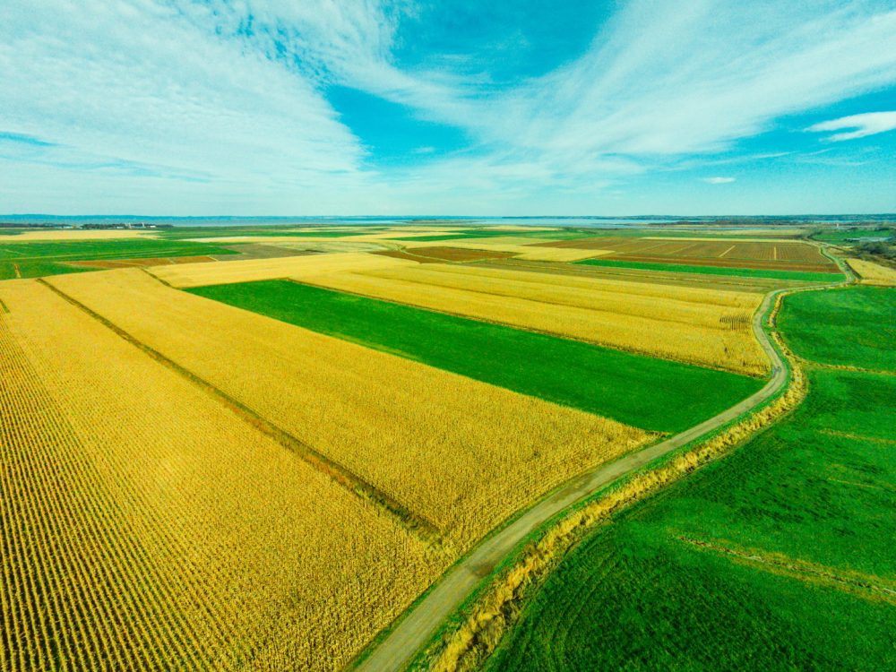
Aerhyve Aerial Technologies is located in Atlantic Canada, Aerhyve captures and analyzes high quality, multi-sensor data from Unmanned Aerial Vehicles (UAV). Our mission is to provide rapid, actionable data from new perspectives.
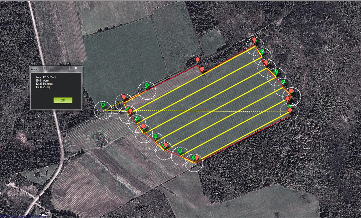
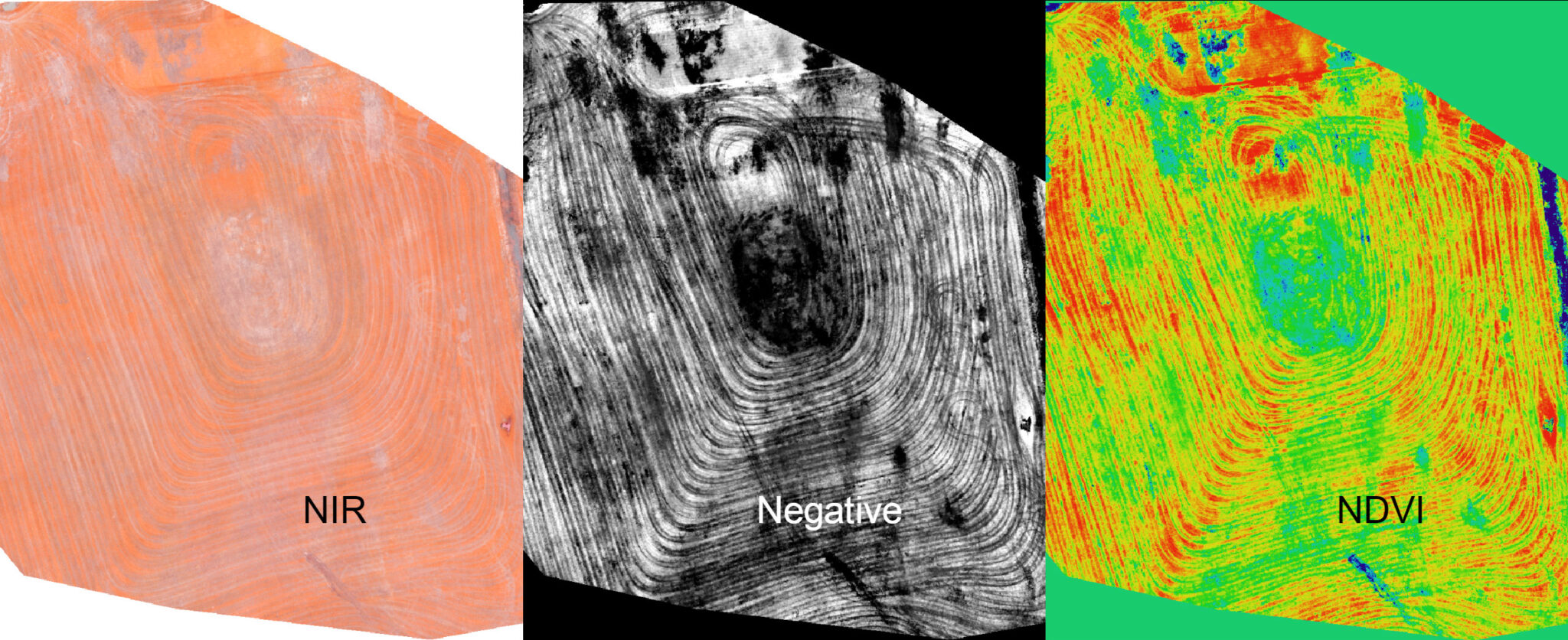
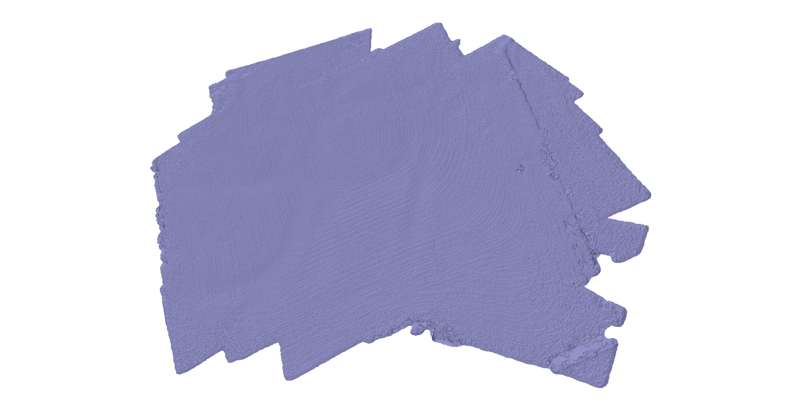
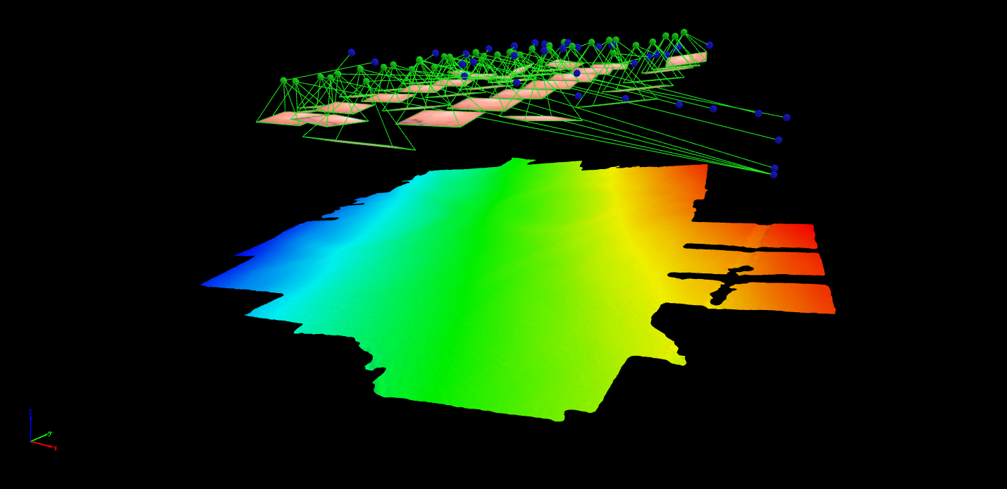
Aerial images can be converted into 2D and 3D models for a more robust data pipeline, informing business decisions.
Aerhyve has engineers (software, mechanical, and electonic), GIS expertise, biologists and designers for a comprehensive approach to incorporating UAV technology into your workflow.
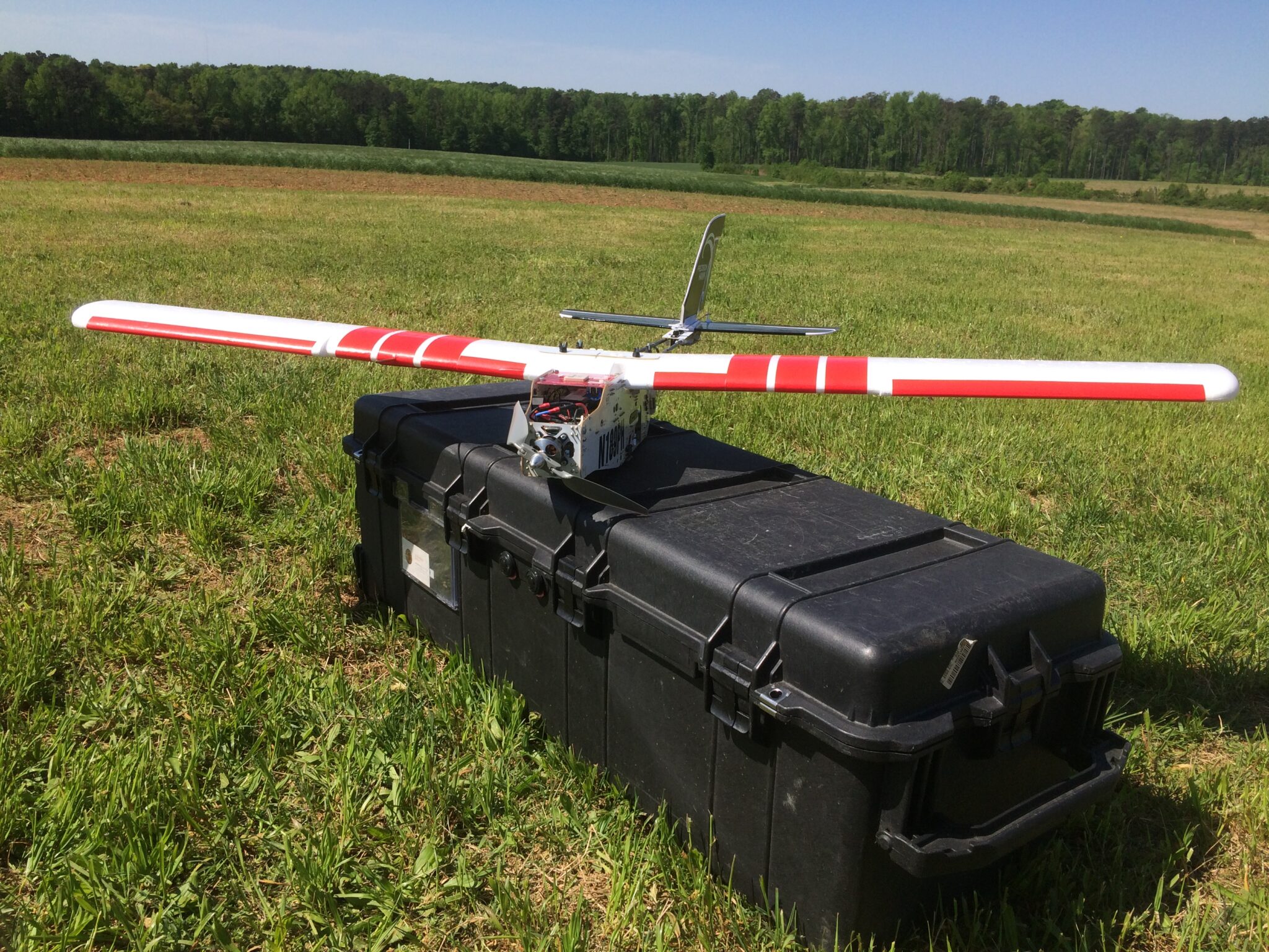
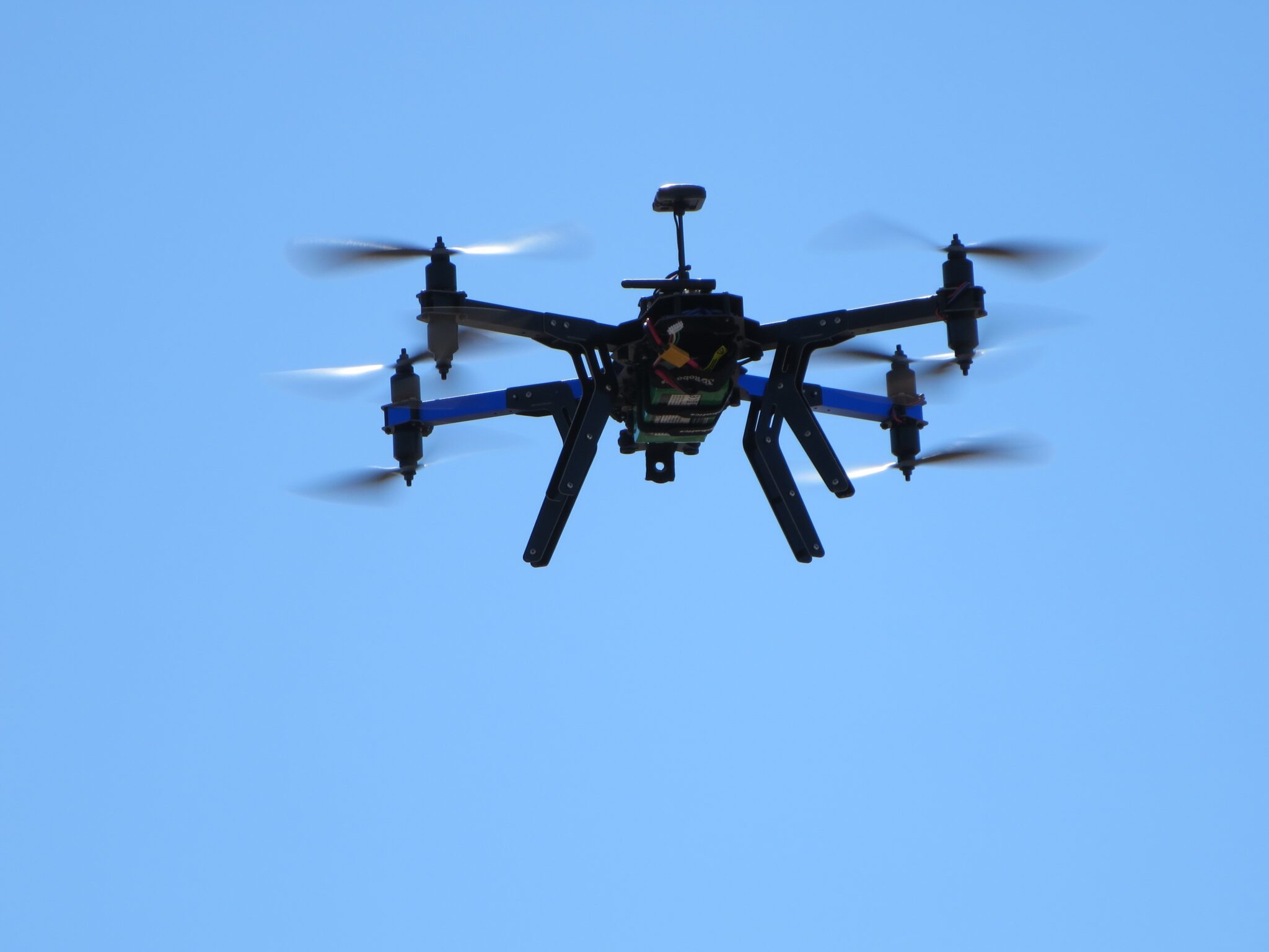
We operate both VTOLs (RGB + NIR Sensors) and fixed wing craft (PrecisionHawk Lancaster). This allows us to fine tune aerial needs.