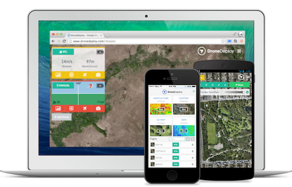
Hireuavpro.com has a vast network of aerial mapping professionals, ready to collect data and turn overhead images into useful, data-rich maps and models.. Our network provides a turn key solution, with professional operators across the globe capable of repeatable, high resolution imagery that can be used across many different applications with the end result being a survey-quality map or model of your construction site, rooftop, bridge, or any other type of infrastructure. Here are some examples of this application in work:
Construction
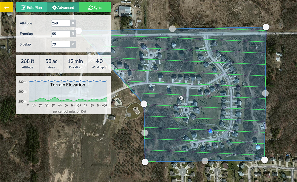
With a simple drone flight plan over your construction site, Hireuavpro.com operators can deliver data that is 1/2 inch or better resolution, and that is confined to a coordinate system. These maps and models can be exported in a wide variety of formats for advanced planning. Furthermore, the applications allow for annotations and measurements that are as accurate as if you were on the site yourself.
Inspection
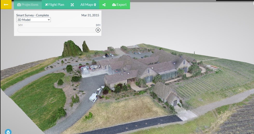
A Hireuavpro.com operator can be sent to any rooftop or other key infrastructure and quickly deliver an inspection that saves time and money, and eliminates the liability of traditional inspections. We will deliver you a high resolution image, map, or 3D model that can help save you time and costs in repairs, as well as plan better in the future.
Network coverage
Hireuavpro.com boasts one of the most competent, professional networks of drone operators in the world. We are truly anywhere and ready to work for you. Find out about how we manage projects globally, and will work for you.
Contact us today to start talking about what municipal solution you want. Our software is scalable to large cities, with proven performance for large areas. Our network is capable of handling the day-to-day operations required for coverage. All of our software can be customized for whichever specific department you plan to utilize it for. We look forward to talking soon.
[contact_bank form_id=1 show_title=true show_desc=false]